Dallas to the Grand Canyon: Three Good Stops Across the Southwest
Leaving from somewhere else? Change the start and see your stops right now — free, no signup.
About 1,065 miles and sixteen hours, from the Texas plains to the South Rim. This is the rare long drive where the road itself is the attraction. Here is where we stop, and why we would never do it in one push.
- 1,065 miles
- 15 hr 45 min driving
- US-287 · I-40 W · AZ-64
- Two days minimum, three if you want the trip
Most people treat this as a two-day slog to get to the thing they came for. That is a waste, because the drive from Amarillo west is one of the great American road trips in its own right — the Llano Estacado, the Rio Grande valley, high desert, a mile-wide meteor crater, and ponderosa pine at 7,000 feet, all in one day.
Ride with us. Day one gets you across Texas. Day two is the good one. Here are the three stops, in order.
Stop 1 — Amarillo, Texas
Mile 360 · on the route · overnight, or a long afternoon
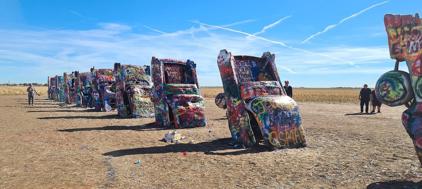
Amarillo is where you stop the first day, five and a half hours out of Dallas on US-287. Two things here are worth the time. Cadillac Ranch is ten Cadillacs buried nose-down in a field west of town — free, always open, bring a can of spray paint because painting them is the point. And Palo Duro Canyon, half an hour south, is the second-largest canyon in the United States: 800 feet deep, red and banded, and almost empty compared to what you are driving toward.
Why here: it is the last big town before 300 miles of high plains, and Palo Duro is a genuinely good warm-up for the canyon at the other end of the trip — same geology story, no crowds.
Stop 2 — Albuquerque, New Mexico
Mile 650 · on I-40 · lunch, or a second night
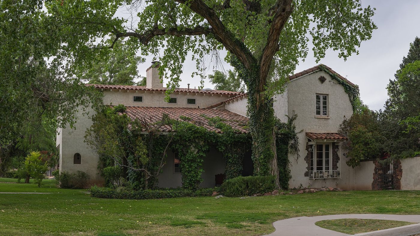
Albuquerque sits at mile 650 and it is the natural midday stop on day two. Old Town is ten minutes off I-40 — a 1706 plaza with adobe buildings, shade, and food that is worth going out of your way for. Order it Christmas, meaning red and green chile both, and do not skip it because you are "making time."
If you have an extra couple of hours, the Sandia Peak Tramway climbs from the edge of the city to 10,378 feet in about fifteen minutes and the view runs 100 miles. Timed entry and weather closures are real here, so book timed tickets before you go. If you would rather walk Old Town at your own pace, an self-guided audio tour does the job without a group.
One thing to know: you have been climbing all day. Albuquerque is at 5,300 feet and Flagstaff is at 7,000. Drink more water than you think you need, and expect anyone sensitive to altitude to feel it before you reach the rim.
Tell us where you are leaving from, when, and who is in the car — dog, toddler, EV, six-hour limit — and we will name the stops that actually fit. Your first trip is free, no card.
Stop 3 — Meteor Crater and Winslow, Arizona
Mile 930 · 6 miles off I-40 exit 233 · 1 hour
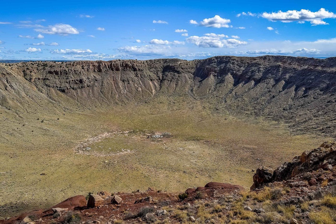
The last break before the rim, and the strangest thing on the route. Meteor Crater is a hole nearly a mile across and 550 feet deep, punched into the desert about 50,000 years ago, privately owned and preserved so completely that Apollo astronauts trained in it. You stand at the rim, you look at it, and it does not photograph — that is the point of stopping.
Twenty minutes west, Winslow gives you the Standin' on the Corner Park if anyone in the car is of the right generation, and La Posada, a restored 1929 Harvey House hotel that is worth walking through even if you are not staying. If you have the time instead, Petrified Forest National Park is 60 miles back east and its 28-mile park road connects right back to I-40.
From here it is an hour to Flagstaff and then 80 miles north on AZ-64 to the South Rim. Fuel in Flagstaff or Williams — services on AZ-64 are thin and priced accordingly, and there is essentially nothing inside the park.
How to split the drive
| Leg | Miles | Driving | Stop |
|---|---|---|---|
| Dallas → Amarillo | 360 | 5 hr 30 min | Sleep |
| Amarillo → Albuquerque | 290 | 4 hr 15 min | Lunch, 2 hr |
| Albuquerque → Meteor Crater | 280 | 4 hr | Crater, 1 hr |
| Meteor Crater → South Rim | 135 | 2 hr | Arrive |
Two days works: Dallas to Amarillo, then a long second day into the park. Three is better — sleep in Albuquerque and give day three to the crater, Flagstaff and a sunset at the rim instead of arriving in the dark.
What we would skip
Do not route through Lubbock unless you have a reason to be there — US-287 to Amarillo is the faster and more interesting line. Do not plan to arrive at the South Rim after dark on your first night; you will drive 80 miles of AZ-64 seeing nothing and pay for a view you cannot use. And do not count on same-day lodging inside the park in summer, ever.
If you fly into Dallas and drive
This trip gets rented a lot. Compare the off-airport rate before you book — EconomyBookings and GetRentacar usually beat the DFW counter for a week, and on 1,000 miles each way the mileage terms matter as much as the daily rate.
Questions
The three stops on a map
Stops in driving order. Map data © OpenStreetMap contributors.
How far is the Grand Canyon from Dallas?
About 1,065 miles to the South Rim, roughly 15 hours 45 minutes of driving, via US-287 to Amarillo, I-40 west to Flagstaff, then AZ-64 north. Plan on two days minimum.
Where should I stop overnight driving from Dallas to the Grand Canyon?
Amarillo at mile 360 for a two-day trip. If you can take three days, sleep in Amarillo and again in Albuquerque — that turns the second day into a real day of the vacation rather than a transfer.
What is worth seeing on the way?
Cadillac Ranch and Palo Duro Canyon at Amarillo, Old Town and the Sandia Peak Tramway in Albuquerque, and Meteor Crater near Winslow — a hole almost a mile wide, six miles off I-40.
Do I need to book Grand Canyon lodging in advance?
Yes. Lodging inside the park books out months ahead in summer, and the nearest reliable alternatives are Tusayan just outside the gate, or Williams and Flagstaff about an hour and a half south.
Now let us do this for your drive
Every stop above is one we would take ourselves — but it is our day, not yours. Change the departure time, the driving limit, the dog in the back seat, the EV that needs a charger every 200 miles, and the right stops change with it. That is the whole thing we built: you tell us the trip, we name the three good stops, with the drive math already done.
Leaving from somewhere else? Change the start and see your stops right now — free, no signup.
Seeing your stops is free. The full plan — clock times, weather, what is open when you arrive — is free for your first trip, then 99¢ for three trips or $2.99 a month. If you just want to browse, we have stop-by-stop pages for thousands of routes.
We write one new drive a week — three real towns, the drive math, what we would skip. Leave an email and we will send them as they go up. No more than one a week, unsubscribe in a click.
Updated 2026-09-04. Some links on this page are affiliate links. If you book through one, we may earn a small commission at no extra cost to you. It never changes which stops we pick — no business on this page paid to be here.