Atlanta to Nashville: Three Good Stops on a Four-Hour Drive Worth Five
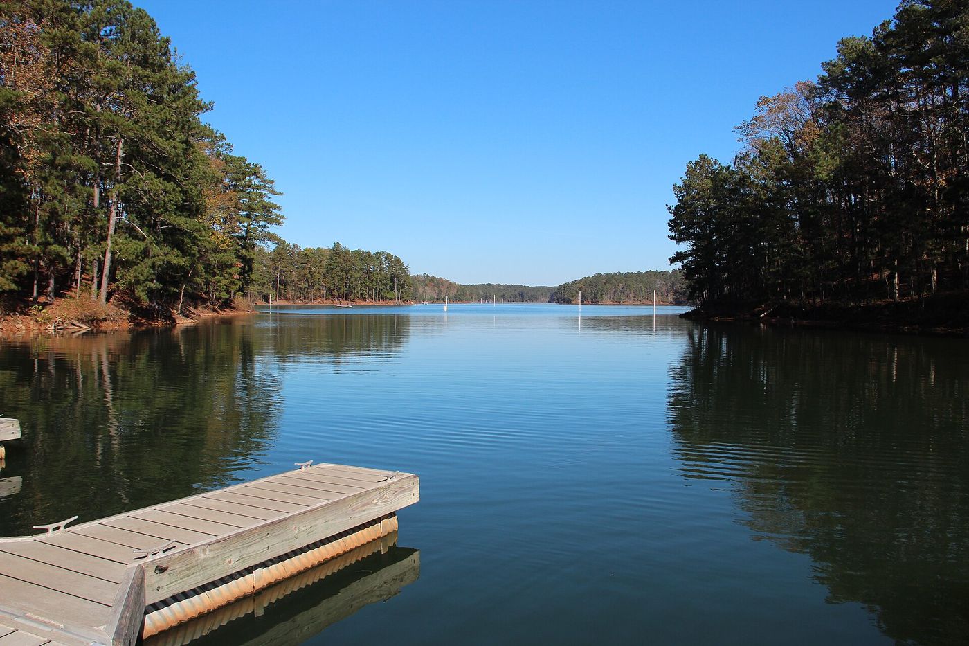
Leaving from somewhere else? Change the start and see your stops right now — free, no signup.
250 miles up I-75 and I-24, about four hours if you never lift your foot. It crosses two mountain ridges and one of the best river cities in the South. Here is where we would get out.
- 250 miles
- 3 hr 50 min driving
- I-75 N then I-24 W
- Best as a six-hour day
Four hours is the dangerous length. It is short enough that nobody bothers to plan it, and long enough that you arrive hungry, stiff, and annoyed at the last hour of it. It is also, quietly, one of the better short drives in the Southeast — it climbs out of the Georgia Piedmont, cuts through the Tennessee River gorge at Chattanooga, and tops the Cumberland Plateau at Monteagle.
Ride with us. Three stops, in the order you hit them, and the drive turns into a day out.
Stop 1 — Cartersville, Georgia
Mile 45 · 5 minutes off I-75 · 45 minutes to an hour
Forty-five miles out is early, but it is the right early: it is where you clear Atlanta traffic and can finally exhale. Cartersville has two stops most people driving past have never heard of. The Etowah Indian Mounds are the best-preserved Mississippian site in the Southeast — earthen platform mounds built between about 1000 and 1550, with a climbable main mound over the river. And the Booth Western Art Museum downtown is a serious collection in a town of 22,000.
Why we put it first: because the alternative is spending the first hour of your trip still tense about traffic. Break the Atlanta hangover early, then enjoy the rest.
Stop 2 — Chattanooga, Tennessee
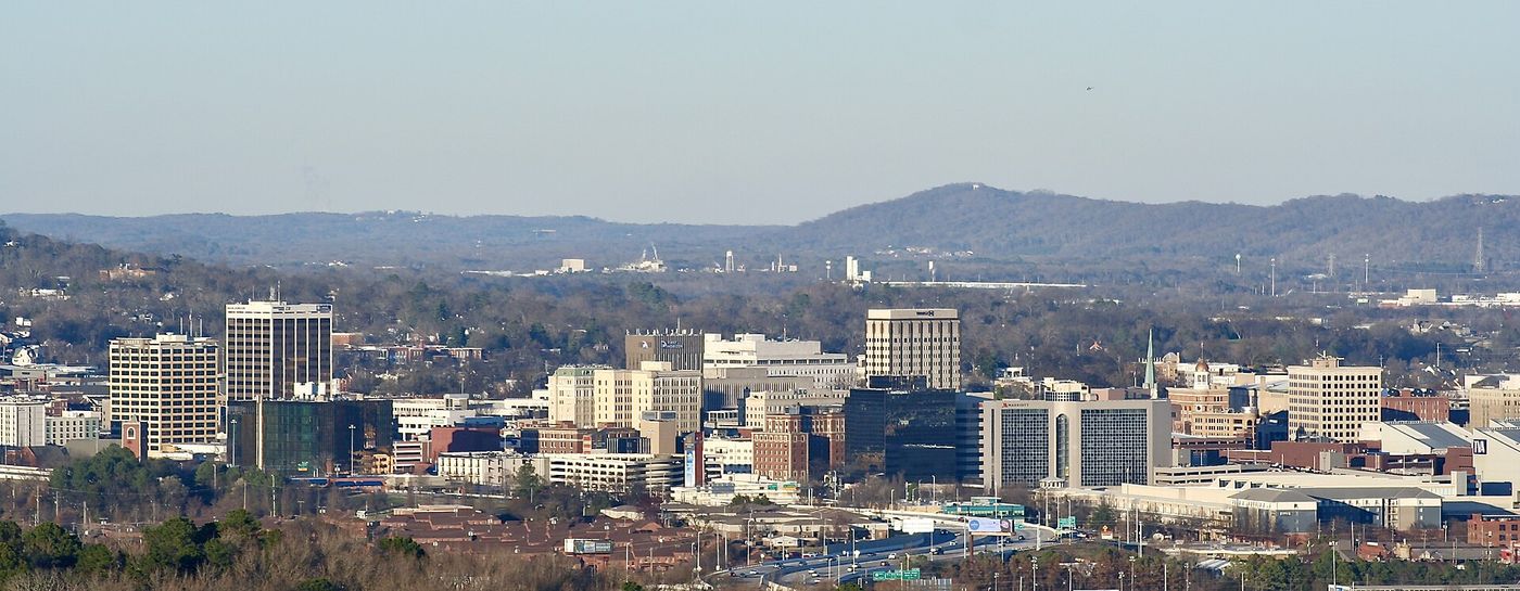
Mile 120 · on the route · lunch and a walk, 2 hours
Chattanooga is exactly halfway, exactly on your route, and it is the whole reason this drive is worth doing slowly. The riverfront is walkable: the Tennessee Aquarium is right there, the Walnut Street Bridge is one of the longest pedestrian bridges in the world and it drops you into the Northshore for lunch, and the whole thing takes as long as you let it.
If you want the view instead, Lookout Mountain sits above the city — Point Park, Ruby Falls and the Incline Railway are all up there, and on a clear day you can see a long way into three or four states. Weekend lines at all of them are real, so buy tickets before you get in line. If your crew would rather walk the riverfront on their own schedule, an self-guided audio tour handles it.
Note the clock: Chattanooga is on Eastern time and Nashville is on Central, so you gain an hour crossing the plateau. Two hours here costs you almost nothing on paper.
Tell us where you are leaving from, when, and who is in the car — dog, toddler, EV, six-hour limit — and we will name the stops that actually fit. Your first trip is free, no card.
Stop 3 — Monteagle and the Cumberland Plateau
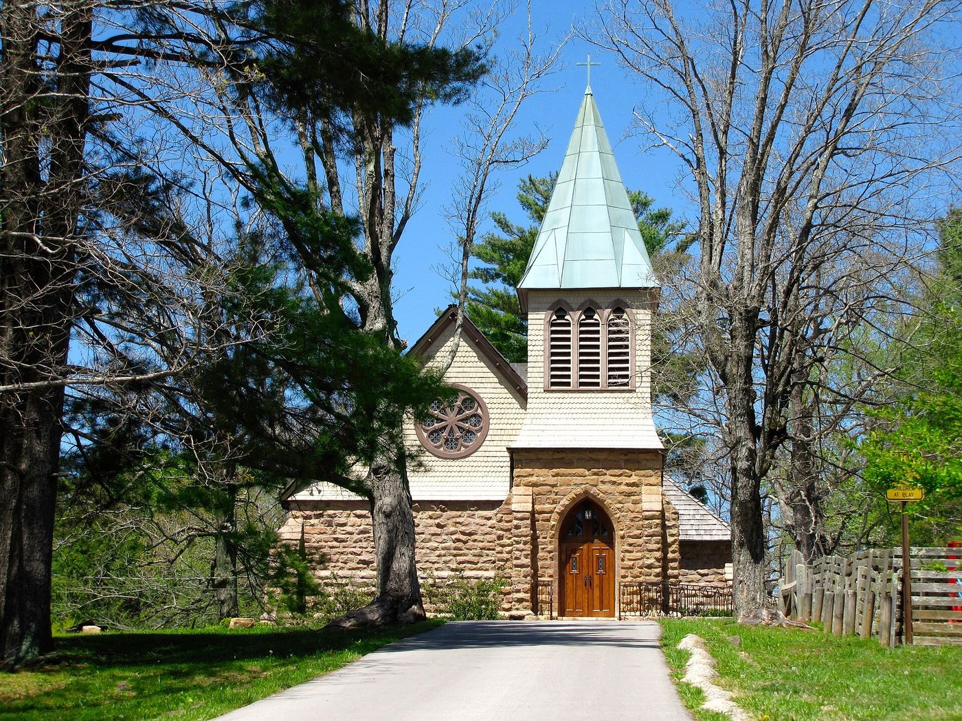
Mile 175 · off I-24 · 30 to 45 minutes
The climb out of Chattanooga up Monteagle Mountain is the steepest grade on the route, and the top is worth a stop. The University of the South at Sewanee is ten minutes off the interstate: a Gothic sandstone campus on 13,000 acres of plateau, with overlooks at the bluff edge that most drivers on I-24 never know are there. South Cumberland State Park is nearby with waterfalls and short trails if you have the legs for it.
Practical note for anyone driving a heavy vehicle or towing: the westbound descent off Monteagle is a long steep grade with runaway truck ramps for a reason. Take it in a lower gear, and if you are in an EV you will get a surprising amount back on the way down.
How to split the day
| Leg | Miles | Driving | Stop |
|---|---|---|---|
| Atlanta → Cartersville | 45 | 50 min | Mounds, 45 min |
| Cartersville → Chattanooga | 75 | 1 hr 10 min | Lunch + walk, 2 hr |
| Chattanooga → Monteagle | 55 | 55 min | Overlook, 45 min |
| Monteagle → Nashville | 75 | 1 hr 10 min | Arrive |
Leave Atlanta at 9am and you are in Nashville by about 3pm Central with three stops behind you — and you gained an hour on the clock doing it.
What we would skip
The Dalton outlet stretch is not a stop, it is a place people end up. Manchester is only worth the exit during Bonnaroo, and during Bonnaroo it is worth avoiding entirely. And do not arrive in Nashville between 4pm and 6pm on a weekday — I-24 inbound is the one piece of this drive that can undo everything you saved.
If you flew into Atlanta
Plenty of people fly into Atlanta and drive up. Price the car off-airport before you book — EconomyBookings and GetRentacar are usually well under the Hartsfield counter for anything longer than a weekend.
Questions
The three stops on a map
Stops in driving order. Map data © OpenStreetMap contributors.
How long is the drive from Atlanta to Nashville?
About 250 miles and 3 hours 50 minutes of driving, north on I-75 to Chattanooga and then west on I-24. You also gain an hour crossing from Eastern into Central time.
What is the best stop between Atlanta and Nashville?
Chattanooga, at almost exactly the halfway point and directly on the route. The riverfront, the Tennessee Aquarium and the Walnut Street Bridge are all within a short walk of each other, and Lookout Mountain is above the city.
Is there anything to do with kids on the way?
The Tennessee Aquarium in Chattanooga is the easy answer. Earlier in the drive, the Etowah Indian Mounds at Cartersville has a climbable mound and a short river trail that works well as a first leg-stretch.
What should I know about Monteagle Mountain?
It is the steepest grade on the drive. The westbound descent toward Nashville is long and steep with runaway truck ramps — take it in a lower gear if you are towing or driving something heavy.
Now let us do this for your drive
Every stop above is one we would take ourselves — but it is our day, not yours. Change the departure time, the driving limit, the dog in the back seat, the EV that needs a charger every 200 miles, and the right stops change with it. That is the whole thing we built: you tell us the trip, we name the three good stops, with the drive math already done.
Leaving from somewhere else? Change the start and see your stops right now — free, no signup.
Seeing your stops is free. The full plan — clock times, weather, what is open when you arrive — is free for your first trip, then 99¢ for three trips or $2.99 a month. If you just want to browse, we have stop-by-stop pages for thousands of routes.
We write one new drive a week — three real towns, the drive math, what we would skip. Leave an email and we will send them as they go up. No more than one a week, unsubscribe in a click.
Updated 2026-09-04. Some links on this page are affiliate links. If you book through one, we may earn a small commission at no extra cost to you. It never changes which stops we pick — no business on this page paid to be here.