Blue Ridge Parkway, Asheville to Boone: Three Good Stops on a Road With No Hurry
Leaving from somewhere else? Change the start and see your stops right now — free, no signup.
About 90 parkway miles at 45 miles an hour, which is the entire point. Three hours of driving before you stop for anything, and the three stops we would never skip.
- 90 parkway miles
- 3 hr+ driving, no shortcuts
- 45 mph limit, no trucks, no billboards
- Best in mid-June or mid-October
Everything else we write is about rescuing a drive that exists to get you somewhere. This one is the opposite: the Blue Ridge Parkway is the destination, and the mistake people make is treating it like a road. I-40 gets you from Asheville to Boone in about an hour and forty minutes. The Parkway takes three hours before you have stopped for a single thing. Budget five or six and you will use them all.
Two rules before you go. There is no fuel on the Parkway — fill up in Asheville. And sections close for ice, fog and rockslides without much notice, so check the National Park Service road closure map the morning you drive, not the week before.
Stop 1 — Craggy Gardens
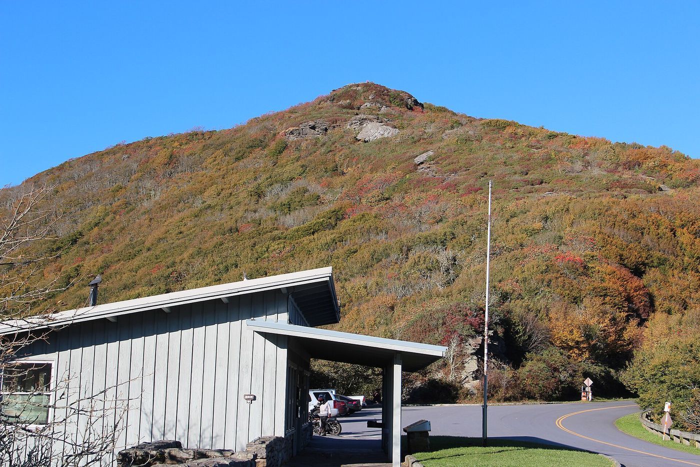
Milepost 364 · about 45 minutes from Asheville · 1 hour
You climb from Asheville's 2,200 feet to over 5,500 in twenty-some miles, and the world changes on the way up — hardwoods to spruce and fir, and often into the clouds outright. Craggy Gardens is a heath bald: open, wind-shaped rhododendron over the top of a ridge, with the visitor center on one side and a short, steep trail to the picnic area on the other.
Mid-June is when the Catawba rhododendron goes off here, and it is genuinely one of the best half-hours of hiking in the eastern United States. Bring a layer. It is routinely fifteen degrees colder than Asheville and windy on top of that.
Stop 2 — Linville Falls
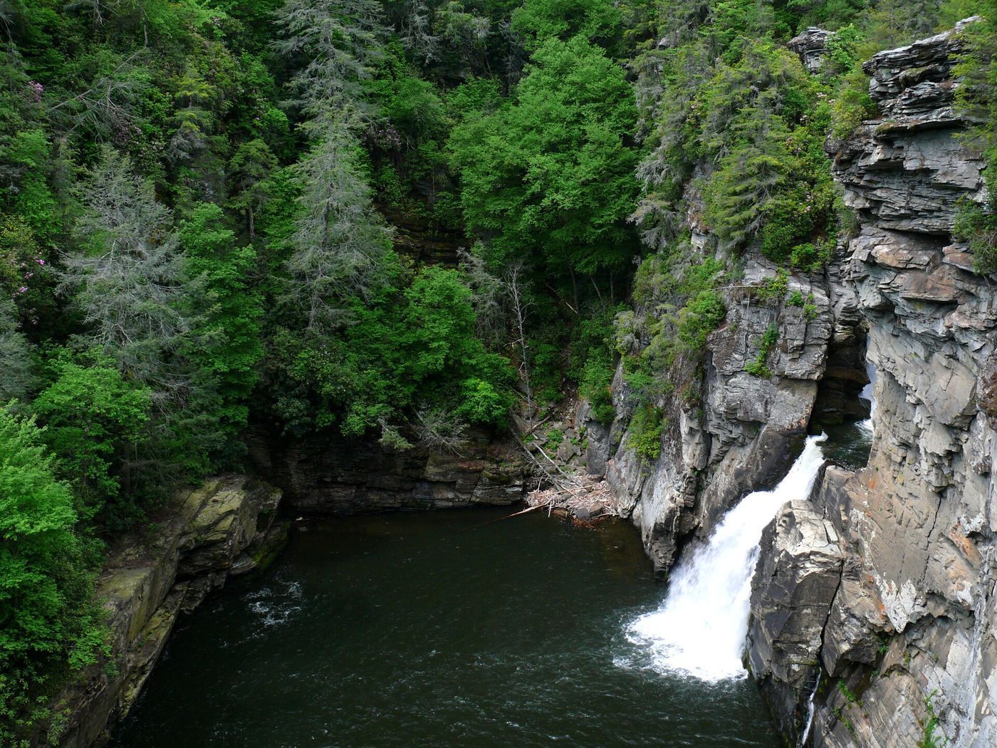
Milepost 316 · about 1 hr 20 min further · 1.5 to 2 hours
The most photographed waterfall in North Carolina, and it earns it. From the visitor center a well-built trail runs out to a series of overlooks: Upper Falls first, then Chimney View and Erwins View looking down into Linville Gorge, which is as close to a canyon as this part of the country gets.
The full loop with all the overlooks is under two miles and involves real climbing. If you only have half an hour, take the Upper Falls spur and come back. If the parking lot is full — and on an October Saturday it will be — the answer is to go on to Stop 3 and come back another day rather than circle for twenty minutes.
Tell us where you are leaving from, when, and who is in the car — dog, toddler, EV, six-hour limit — and we will name the stops that actually fit. Your first trip is free, no card.
Stop 3 — Moses Cone Memorial Park and Blowing Rock
Milepost 294 · 25 minutes from Boone · 1 to 2 hours
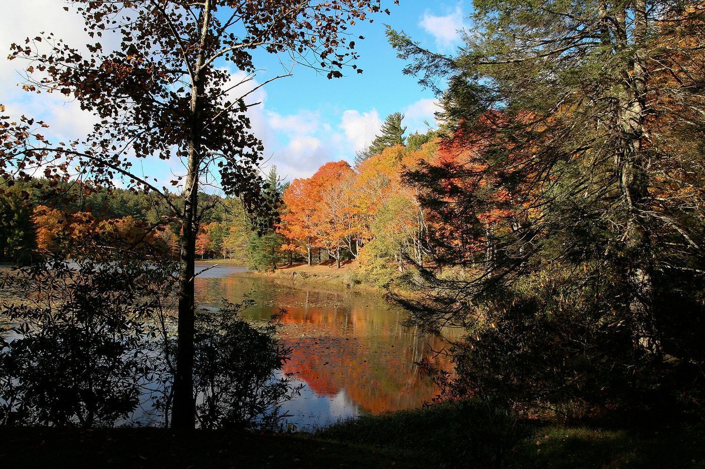
Flat Top Manor sits on an open lawn at milepost 294 with 25 miles of carriage roads raked out around it — old bridle paths, wide and gentle, the easiest good walking on the whole Parkway. Take the trail up toward the Cone family cemetery for the view over Bass Lake if you have an hour, or just walk the lawn and look at the mountains laid out below.
Blowing Rock is minutes down US-321 from the same exit: a small resort village of shops and porches that has been the summer stop in these mountains for a hundred years. Then Boone is 8 miles further. An self-guided audio tour works well on this stretch if you would rather listen than read pull-off signs.
How to split the day
| Leg | Mileposts | Driving | Stop |
|---|---|---|---|
| Asheville → Craggy Gardens | 382 → 364 | 45 min | Bald walk, 1 hr |
| Craggy → Linville Falls | 364 → 316 | 1 hr 20 min | Falls, 1.5–2 hr |
| Linville → Moses Cone | 316 → 294 | 45 min | Carriage roads, 1 hr |
| Moses Cone → Boone | 294 → US-321 | 25 min | Arrive |
Start at 9am, you are in Boone around 4pm having walked three times. Add Linn Cove Viaduct at milepost 304 as a drive-through — it is the famous curved bridge around Grandfather Mountain, and there is a pull-off just past it.
What we would skip
Stopping at every overlook. There are dozens, most of them look at the same ridge lines, and doing all of them turns a great day into a slideshow. Pick three good stops and drive the rest. Also skip this route entirely in fog — the Parkway has no shoulders and no guardrails in long stretches, and the view you came for will be a gray wall.
Questions
Watch the drive in 40 seconds
More routes on our YouTube channel — a new one every Monday, Wednesday and Friday.
The three stops on a map
Stops in driving order. Map data © OpenStreetMap contributors.
How long does the Blue Ridge Parkway take from Asheville to Boone?
About 90 miles and three hours of driving at the 45 mph limit, before any stops. Plan on five to six hours for the day with the stops on this page. I-40 and US-321 do the same trip in about an hour and forty minutes.
Is there gas on the Blue Ridge Parkway?
No. Fill up before you get on. Fuel is only available by exiting to towns along the way, which costs you real time.
When is the best time to drive this section?
Mid-June for the Catawba rhododendron at Craggy Gardens, or the second and third weeks of October for color. October weekends are extremely crowded at Linville Falls — go early.
Does the Blue Ridge Parkway close?
Sections close regularly for ice, fog, and rockslides, mostly between November and April. Check the National Park Service road closure map the morning you drive.
Now let us do this for your drive
Every stop above is one we would take ourselves — but it is our day, not yours. Change the departure time, the driving limit, the dog in the back seat, the EV that needs a charger every 200 miles, and the right stops change with it. That is the whole thing we built: you tell us the trip, we name the three good stops, with the drive math already done.
Leaving from somewhere else? Change the start and see your stops right now — free, no signup.
Seeing your stops is free. The full plan — clock times, weather, what is open when you arrive — is free for your first trip, then 99¢ for three trips or $2.99 a month. If you just want to browse, we have stop-by-stop pages for thousands of routes.
We write one new drive a week — three real towns, the drive math, what we would skip. Leave an email and we will send them as they go up. No more than one a week, unsubscribe in a click.
Updated 2026-09-03. Some links on this page are affiliate links. If you book through one, we may earn a small commission at no extra cost to you. It never changes which stops we pick — no business on this page paid to be here.